Log in
All resources
Create a design
Tools
308,624 Free Images of Pages With Maps
cc-zero
uploaded with vicuñauploader
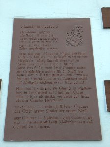
cemetery in apolda
phanigiri
sannati
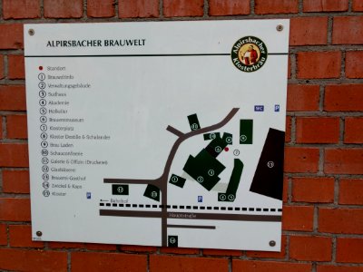
alpirsbacher
bilylivka
roof
architecture
battaglia terme
self-published work
pages with maps
self-published work
pages with maps
self-published work
pages with maps
self-published work
pages with maps
self-published work
pages with maps
self-published work
pages with maps
self-published work
pages with maps
self-published work
pages with maps
self-published work
pages with maps
self-published work
pages with maps
self-published work
pages with maps
self-published work
coloane
self-published work
pages with maps
village
roof
self-published work
pages with maps
self-published work
water
self-published work
alpirsbacher
self-published work
alpirsbacher
self-published work
alpirsbacher
self-published work
alpirsbacher
self-published work
pages with maps
self-published work
pages with maps
self-published work
pages with maps
pages with maps
cc-zero
architecture
balazuc
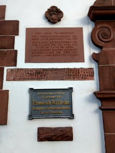
balduinstein
town
self-published work
pages with maps
uploaded with vicuñauploader
pages with maps
self-published work
pages with maps
self-published work
boryspil
self-published work
facade
self-published work
pages with maps
self-published work
pages with maps
self-published work
pages with maps
self-published work
pages with maps
self-published work
pages with maps
self-published work
pages with maps
self-published work
pages with maps
self-published work
pages with maps
self-published work
pages with maps
self-published work
pages with maps
self-published work
pages with maps
self-published work
pages with maps
self-published work
pages with maps
self-published work
pages with maps
teignmouth
town
self-published work
pages with maps
self-published work
centris decolorata
uploaded with vicuñauploader
pages with maps
uploaded with vicuñauploader
pages with maps
uploaded with vicuñauploader
pages with maps
uploaded with vicuñauploader
pages with maps
uploaded with vicuñauploader
pages with maps
uploaded with vicuñauploader
pages with maps
uploaded with vicuñauploader
pages with maps
uploaded with vicuñauploader
pages with maps
self-published work
pages with maps
self-published work
casina
self-published work
pages with maps
self-published work
pages with maps
self-published work
pages with maps
self-published work
lawn
self-published work
pages with maps
self-published work
pages with maps
self-published work
pages with maps
village
roof
self-published work
pages with maps
self-published work
sidewalk
self-published work
pages with maps
self-published work
roof
self-published work
hockenheimer
self-published work
grass
self-published work
animals
self-published work
pages with maps
self-published work
pages with maps
self-published work
animals
self-published work
pages with maps
self-published work
pages with maps
self-published work
pages with maps
self-published work
pages with maps
self-published work
pages with maps
self-published work
pages with maps
self-published work
water
self-published work
pages with maps
self-published work
city
self-published work
traffic
sidewalk
jesolo
jesolo
city
jesolo
card
self-published work
pages with maps
self-published work
pages with maps
self-published work
pages with maps
self-published work
pages with maps
self-published work
traffic
self-published work
pages with maps
self-published work
shopping
self-published work
architecture
self-published work
pages with maps
self-published work
architecture
self-published work
pages with maps
5801 - 5900 of 308,624
Next page
/ 3087